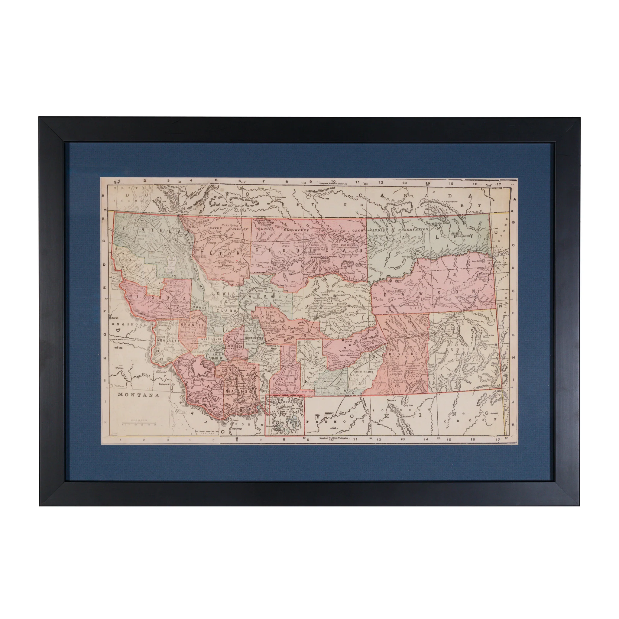
Territory of Arizona Map
Territory of Arizona map by the Department of Interior General Lands Office, Fred Dennett, Commissioner. Compiled and drawn by Daniel O'Hare, 1908, printed by Norris Peters Co. Washington DC. 22" x 18". Framed.
PERIOD: Early 20th Century
ORIGIN: Washington DC, United States
SIZE: 22" x 18" Frame 25" x 28"
$700.00
Original: $2,000.00
-65%Territory of Arizona Map—
$2,000.00
$700.00More Images


Territory of Arizona Map
Territory of Arizona map by the Department of Interior General Lands Office, Fred Dennett, Commissioner. Compiled and drawn by Daniel O'Hare, 1908, printed by Norris Peters Co. Washington DC. 22" x 18". Framed.
PERIOD: Early 20th Century
ORIGIN: Washington DC, United States
SIZE: 22" x 18" Frame 25" x 28"
Product Information
Product Information
Shipping & Returns
Shipping & Returns
Description
Territory of Arizona map by the Department of Interior General Lands Office, Fred Dennett, Commissioner. Compiled and drawn by Daniel O'Hare, 1908, printed by Norris Peters Co. Washington DC. 22" x 18". Framed.
PERIOD: Early 20th Century
ORIGIN: Washington DC, United States
SIZE: 22" x 18" Frame 25" x 28"