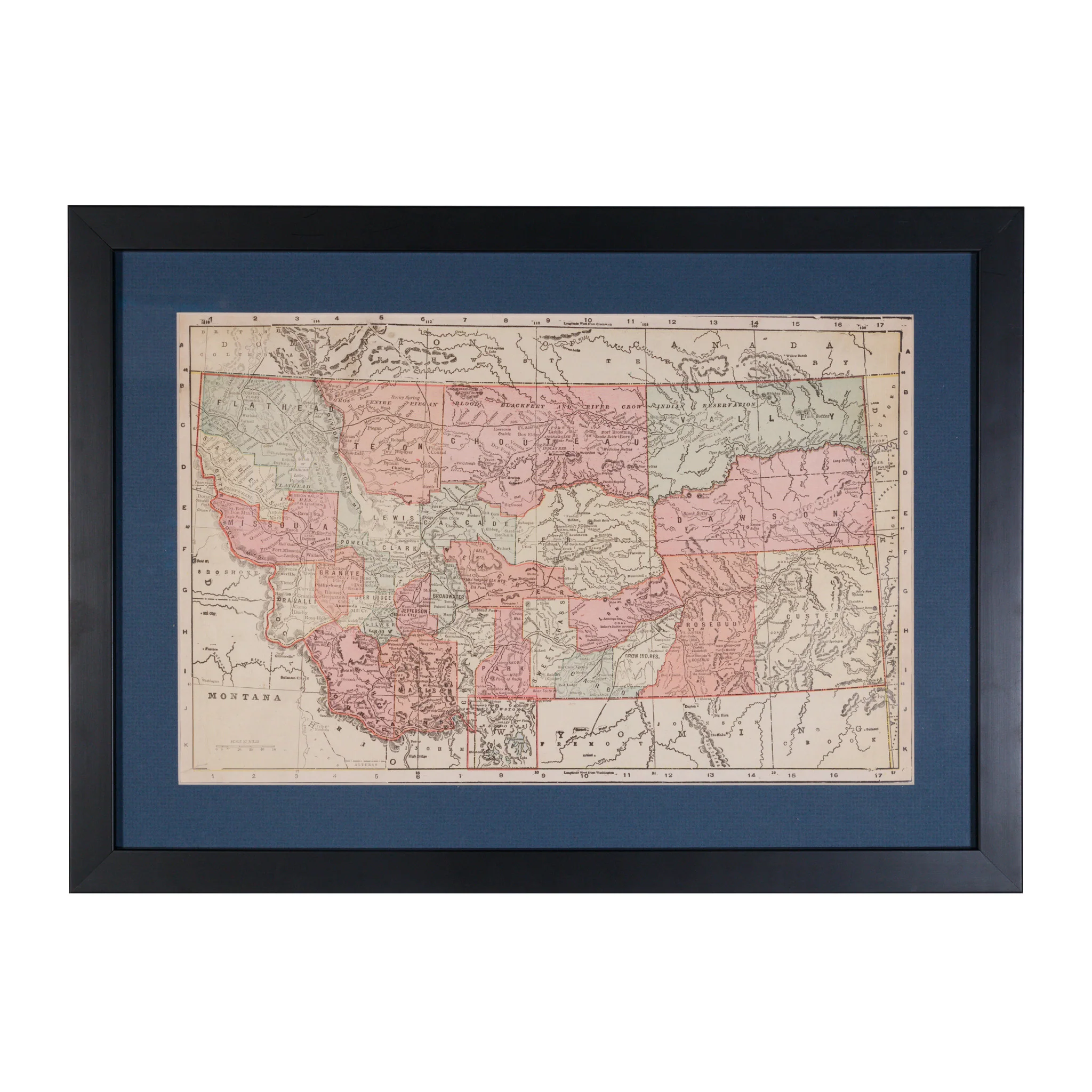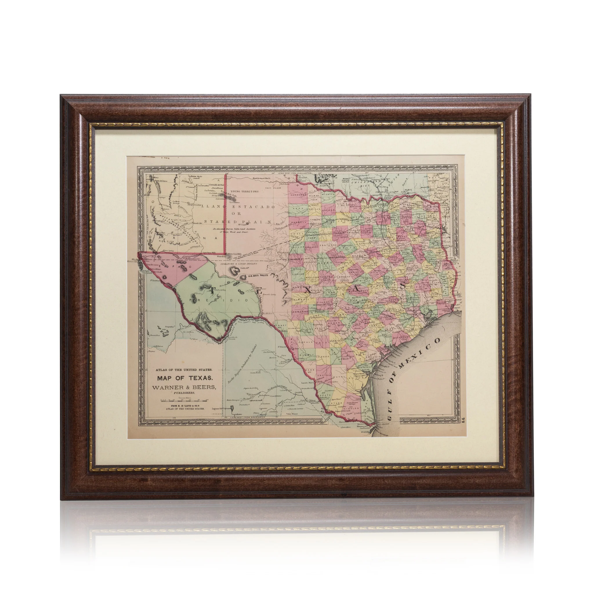
Map of Texas; Warner & Beers 1870
Warner & Beers map of Texas from H.H. Lloyd & Co. Framed. Atlas of the United States 1870. Polychrome map showing US Mail Route, Wagon Route, territories and counties.
PERIOD: 19th Century
ORIGIN: Texas, United States
SIZE: 16 1/2" x 13" Frame 24" x 21"
$525.00
Original: $1,500.00
-65%Map of Texas; Warner & Beers 1870—
$1,500.00
$525.00More Images


Map of Texas; Warner & Beers 1870
Warner & Beers map of Texas from H.H. Lloyd & Co. Framed. Atlas of the United States 1870. Polychrome map showing US Mail Route, Wagon Route, territories and counties.
PERIOD: 19th Century
ORIGIN: Texas, United States
SIZE: 16 1/2" x 13" Frame 24" x 21"
Product Information
Product Information
Shipping & Returns
Shipping & Returns
Description
Warner & Beers map of Texas from H.H. Lloyd & Co. Framed. Atlas of the United States 1870. Polychrome map showing US Mail Route, Wagon Route, territories and counties.
PERIOD: 19th Century
ORIGIN: Texas, United States
SIZE: 16 1/2" x 13" Frame 24" x 21"