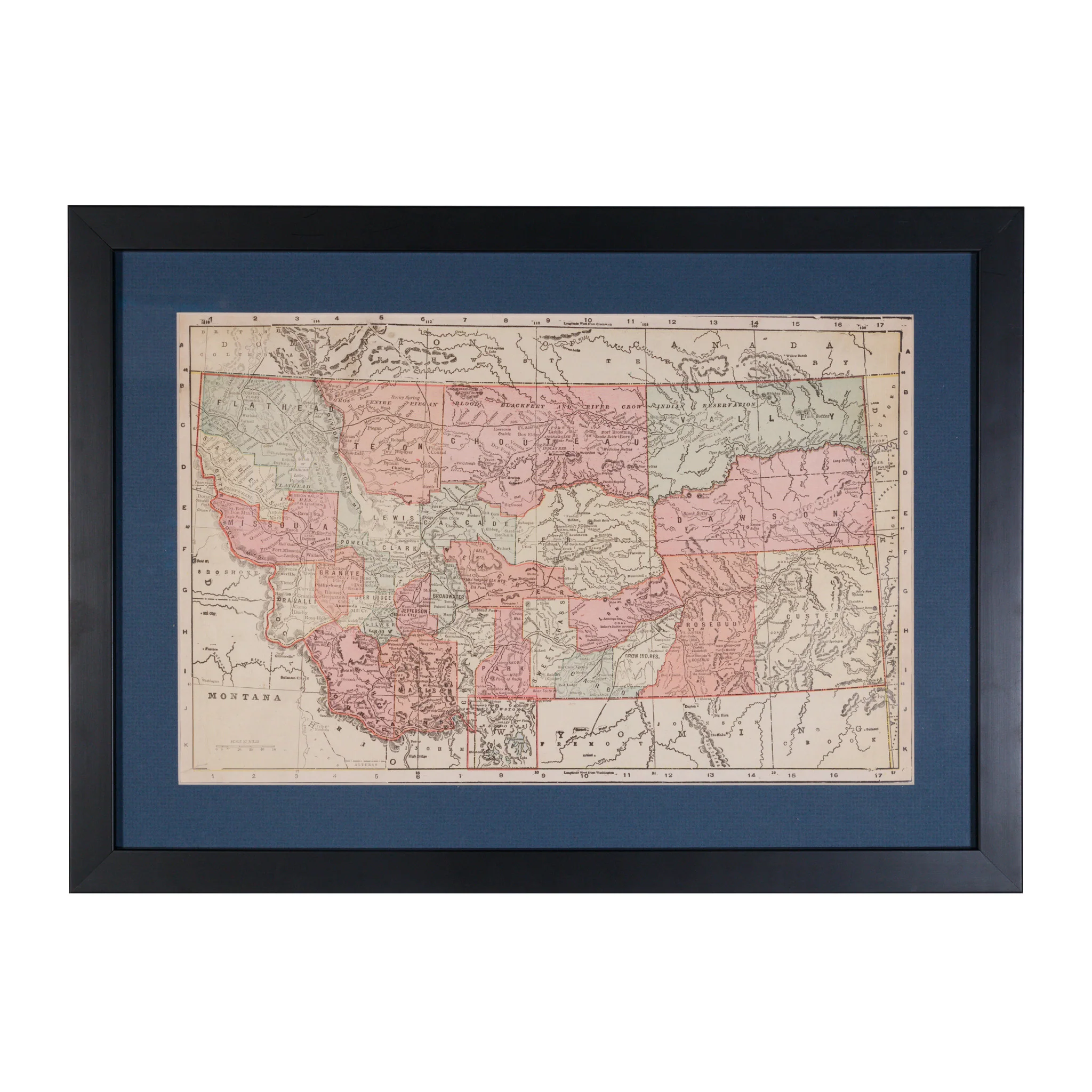
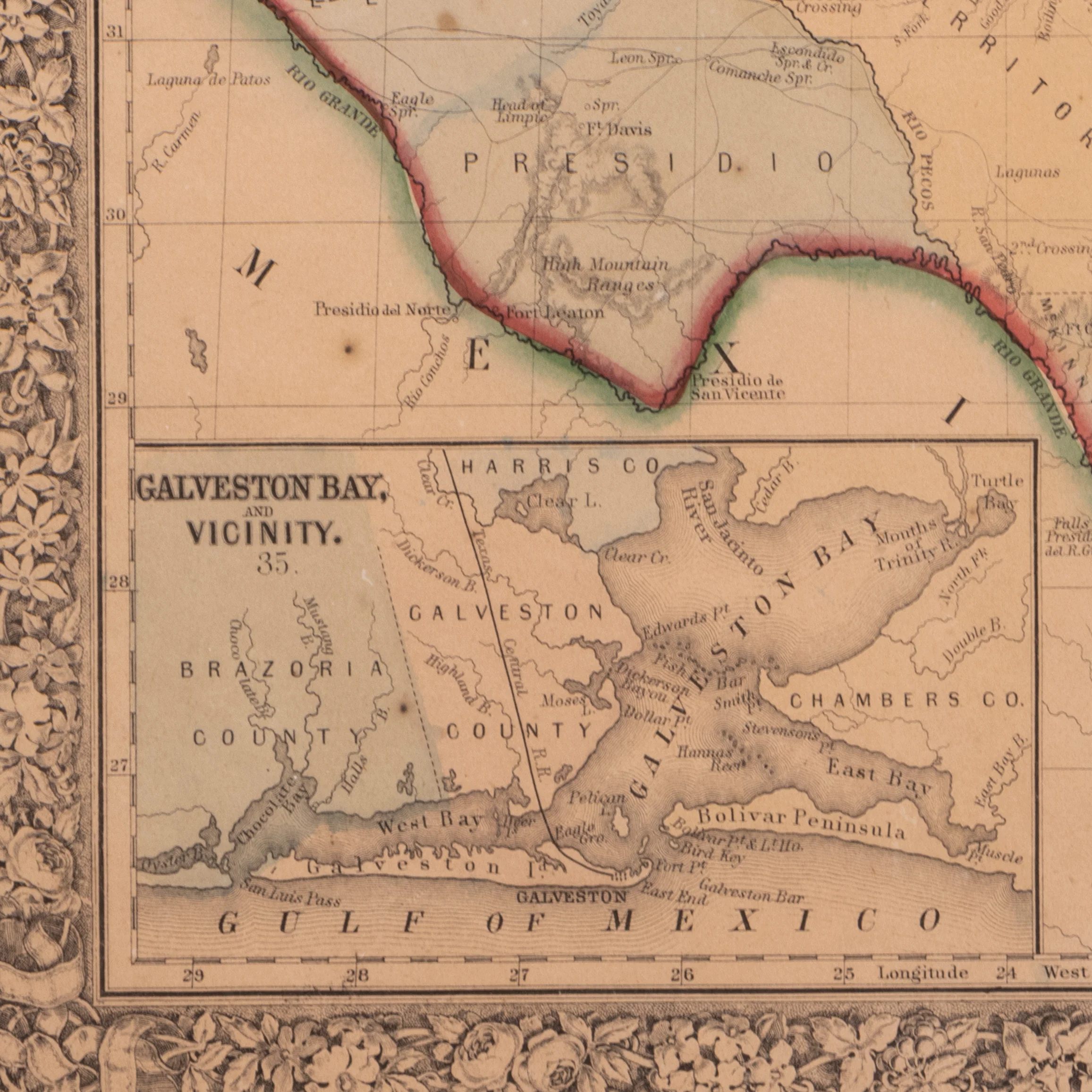
Map of Texas County 1860
1860 Texas County map of Texas. Framed. Entered into the Act of Congress in the year 1860 by Augustus Mitchell in the Clerk's Office of the Bureau of the District Court of the United States for the Eastern District of Pennsylvania. Matted and framed. 12 1/2" x 15 1/4"
PERIOD: Mid 19th Century
ORIGIN: Texas, United States
SIZE: 2 1/2" x 15 1/4" Frame 20 1/2" x 18"
$525.00
Original: $1,500.00
-65%Map of Texas County 1860—
$1,500.00
$525.00More Images

Map of Texas County 1860
1860 Texas County map of Texas. Framed. Entered into the Act of Congress in the year 1860 by Augustus Mitchell in the Clerk's Office of the Bureau of the District Court of the United States for the Eastern District of Pennsylvania. Matted and framed. 12 1/2" x 15 1/4"
PERIOD: Mid 19th Century
ORIGIN: Texas, United States
SIZE: 2 1/2" x 15 1/4" Frame 20 1/2" x 18"
Product Information
Product Information
Shipping & Returns
Shipping & Returns
Description
1860 Texas County map of Texas. Framed. Entered into the Act of Congress in the year 1860 by Augustus Mitchell in the Clerk's Office of the Bureau of the District Court of the United States for the Eastern District of Pennsylvania. Matted and framed. 12 1/2" x 15 1/4"
PERIOD: Mid 19th Century
ORIGIN: Texas, United States
SIZE: 2 1/2" x 15 1/4" Frame 20 1/2" x 18"